In the age of technology, locating something only by a written address might sound outdated and confusing. Most of us rely on digital tools like Google Maps to guide us, and we expect the same convenience regarding package tracking. It would be more accessible to track our USPS package on Google Maps.
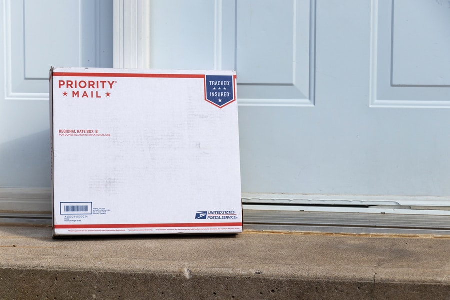
United States Postal Service (USPS), also known as U.S. Mail, is owned by the United States government, which handles postal services in the U.S. Currently, they do not have a real-time tracking system that could redirect you to Google Maps for locating your package. There are some alternative methods that you could employ to track your parcel on the map.
- Using My Package Tracking website.
- Locating the latest checkpoints on Google Maps.
- Visiting the nearest post office.
Read on to learn more about how package tracking works and the innovative ways to help you track your package on Google Maps. This will help you end the uncertainty of your parcel’s location.
3 Ways To Track Your USPS Package
Imagine looking forward to a package for days and not knowing where it already is. Not so pleasing, right? To make mail tracking easier, USPS has a tracking service where you can get updates about your package delivery by using a tracking number or barcode.
It’s important to note that USPS provides a free tracking service for couriers sent domestically inside the U.S. For international shipping, product tracking has to be purchased additionally.
USPS tracking does not have a feature where you can locate your package on Google Maps. So, to locate your parcel via Google Maps, you’ll need to be resourceful and consider some alternatives. Let’s take a look at how to do that.
1. Use My Package Tracking
A third-party website, My Package Tracking provides functionality to locate the couriers of major shipping companies, including USPS. It has a smart interface where you have to enter your tracking number, and in return, it locates your package’s most recent location on the map.
This tracking system provides an added feature to calculate the estimated time of arrival with the help of maps. After locating your parcel on the map, it allows you to enter the recipient’s address in a text field and calculates the estimated delivery time using its artificial intelligence system.
You can also download the My Package Tracking app to locate the parcel at your fingertips. The app is free to download from Google’s Play Store for Android and Apple’s App Store for iOS.
2. Locate Checkpoints on Google Maps
As of now, USPS does not have a system to provide the real-time location of a package on Google Maps. So to track it on maps, you can follow an innovative approach. Let’s see how.
Head to the USPS’s website or mobile app and follow the normal tracking process. After entering your tracking number, you will get the latest checkpoint of your package with its postcode.
The result of tracking will look like this:
- 2022-10-05 08:13 – Package Arrived at Washington Post Office, DC 20005, United States
- 2022-10-03 10:11 – Package Out for Delivery from Falls Church Post Office, VA 22046, United States
After obtaining the information about the latest location of your parcel, you can now enter the details on Google Maps. This will point you to the exact location of the provided information. For instance, if you locate the above example, the map will pinpoint you to the address of the Washington Post Office with postcode 20005.
3. Visit Nearest Post Office
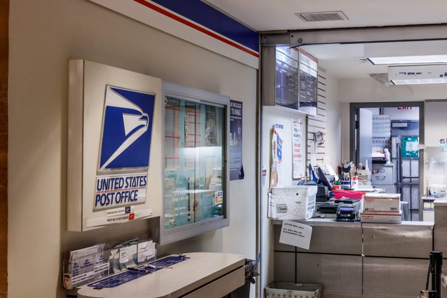
If the first two methods don’t work for you, your last resort is to visit the nearest USPS office. You can use the USPS app or Google Maps to locate the nearest office. The staff can internally trace the exact location of your package or the vehicle carrying it.
They use Mobile Delivery Device (MDD) scanners to find out the last or next stop of the vehicle carrying your package, or if it’s lying in the office, they’ll inform you accordingly. Once you know the delivery vehicle’s location, you can put it in your Google Maps app, which will pinpoint you to that location.
How Package Tracking Works
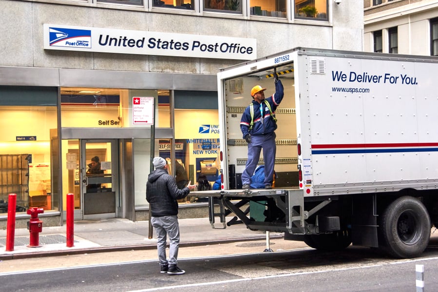
Courier services around the world now use advanced tracking systems. Some provide real-time tracking on maps with the help of GPS, while others use MDD scanners. Let’s take a deeper look at how mail tracking works.
The most popular approach to mail tracking is the last checkpoint method. In this method, every package has a unique tracking ID and barcode. This barcode is linked to all the information about your parcel’s dates, addresses, and contents.
The barcode is scanned at each checkpoint on its route to delivery, and the information is updated in the system. As you put this barcode or tracking ID in the portal, it will display where the parcel was last scanned, giving you an idea of the whereabouts of your package.
Problems With Package Tracking
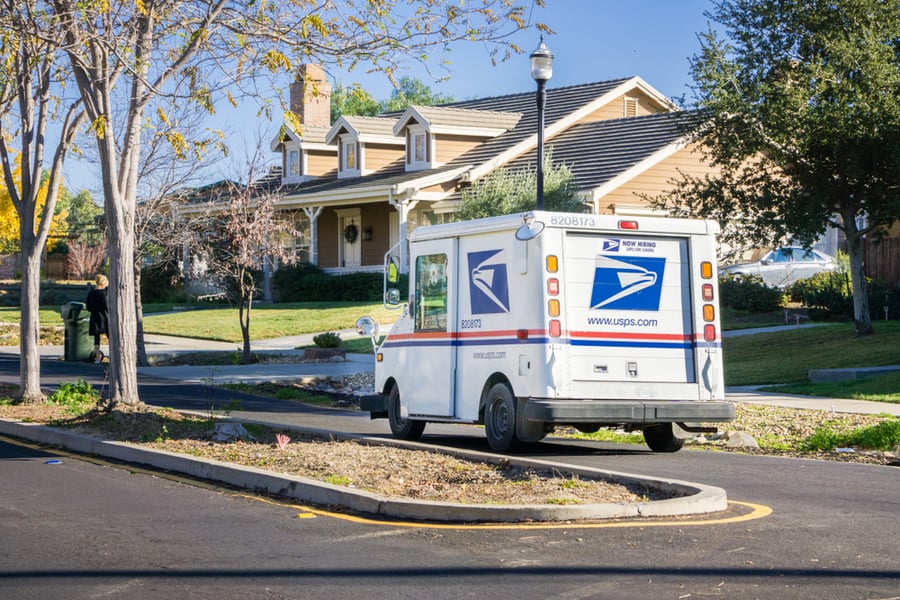
Have you ever experienced a delivery scenario where your parcel is delivered, but the tracking information shows it’s still in transit? This is a common issue with parcel tracking. The information provided by these tracking services is not always correct.
This might be due to the mail carrier’s human negligence or the courier service’s faulty system. If a mail carrier forgets to scan the package at checkpoints, the package details will not be uploaded to the tracking database. In case of slow internet or any other system error, it may also lead to the incorrect tracking information.
Takeaway
Since USPS has not yet developed a system where you can track your package on Google Maps, we are unsure if they will introduce it in the future. So to make this work, we can try other ways to track the package on maps.
Some third-party parcel tracking websites can come in handy in this case. In addition, you can also try to locate the parcel on maps with the help of the latest parcel checkpoint details or by getting information from USPS staff.
Frequently Asked Questions
Does the Tracking Information Pinpoint Directly to the Package?
The tracking information does not directly pinpoint the package. It shows the details of the last checkpoint where the package passed through. After that checkpoint, it does not provide information about where the parcel is. We can get a rough idea that it’s somewhere between the recent checkpoint and the next one.
How Long Does USPS Take To Deliver a Package?
There is no fixed time for your parcel to get delivered. It depends on the courier type and destination. The domestic packages reach their destinations in less than a week, whereas the overseas ones could take up to two weeks.


